Five Flashpoints in the Philippines-China Relationship
China’s actions in the South China Sea contravene the fundamental principles of the international order.
Editor’s Note: The following are remarks delivered on August 10 by Justice Antonio T. Carpio, a former senior associate justice of the Supreme Court of the Philippines, before the USIP-Stratbase ADR Institute Forum, “Assessing Crisis Communication Mechanisms in Foreign and Security Policy in the Indo-Pacific."
The flashpoints should be viewed against the backdrop of China’s new coast guard law, which took effect on February 1, 2021. Under this new coast guard law, China’s Coast Guard is authorized “to use all necessary measures including the use of weapons” to enforce China’s territorial and maritime claims, in the South China Sea, the East China Sea and the Yellow Sea.

In the South China Sea, China claims all the islands, waters and resources falling within its nine-dash line, equivalent to about 85.7 percent of the maritime area of the South China Sea. Chinese Coast Guard vessels are authorized under China’s new coast guard law to fire their weapons on foreign vessels, and to forcibly dismantle structures, that encroach on China’s nine-dash line claim. So, structures erected by other states on islands claimed by China, like those in the Spratlys, such as the beached BRP Sierra Madre in Ayungin Shoal, can be demolished by Chinese coast guard vessels under this new coast guard law.
China’s new coast guard law blatantly violates the U.N. Charter, which prohibits and outlaws the threat or use of force to settle territorial or maritime disputes between states. Under the U.N. Charter, all such disputes between states must be settled peacefully by negotiation, mediation, arbitration, judicial settlement or other peaceful means. China’s new coast guard law constitutes a threat of force against other claimant states in the South China Sea in clear violation of the U.N. Charter.
In Ukraine, Russia resorted to actual use of force in invading its neighbor. Such use of force, a blatant violation of the U.N. Charter, was overwhelmingly condemned by the U.N. General Assembly. In the South China Sea, China is using threat of force to invade its neighbors. Both use of force and threat of force, of course, violate the U.N. Charter and should be equally and strongly condemned by UN members.
If China succeeds in enforcing its nine-dash line claim using its new coast guard law, and if Russia succeeds in keeping Ukrainian territory that it has invaded, then both China and Russia would be overturning and negating the foundational principle of the UN Charter. This will usher in the demise of the U.N. and bring back the world to the “might Is right” rule where powerful states can annex, through armed force or intimidation, the territory of their weaker neighboring states.
This puts our world today at a historic crossroads — whether we go back to the era before the 1945 U.N. Charter when wars of aggression were legitimate means of annexing territory and settling disputes between states, or whether we continue to preserve the foundational principle of the 1945 U.N. Charter that all disputes between states must be settled only through peaceful means, outlawing the threat or use of force to settle such disputes.
Now, what are the geologic features and maritime areas where Chinese Coast Guard vessels are most likely to use China’s new coast guard law? I have listed five areas in the West Philippine Sea.
1. Reed Bank
The first possible flashpoint is the Reed Bank which is rich in gas. The arbitral tribunal expressly ruled that Reed Bank is fully submerged, within 200 nautical miles from the archipelagic baselines of the Philippines, and forms part of the exclusive economic zone of the Philippines. Thus, the gas in Reed Bank belongs exclusively to the Philippines.
Since Malampaya, which supplies 40 percent of the energy requirement of Luzon, will soon ran out of gas, there is urgency for the Philippines to develop Reed Bank. In past years, Chinese Coast Guard vessels have shoved away Philippine survey ships sent to Reed Bank. This time, before the end of this year, the Philippines will be sending its survey and drilling ships to Reed Bank at the same time that Philippine and U.S. naval vessels will be conducting joint patrols in Reed Bank.
This was the formula used by Malaysia in April 2020 when its ships successfully surveyed and drilled in its exclusive economic zone while U.S. and Australian vessels conducted naval drills in the same area. The Chinese Coast Guard vessels failed to stop the Malaysians despite prior warnings by the Chinese that the area falls within China’s nine-dash line.
The Indonesians adopted the same formula in the latter half of 2021, sending its survey and drilling ships to the North Natuna islands at the same time that the U.S. aircraft carrier Ronald Reagan passed by. Despite prior warnings by China that the area falls within China’s nine-dash line, the Chinese Coast Guard vessels failed to stop the Indonesians.
2. Ayungin Shoal
The second possible flashpoint is Ayungin Shoal (also known as the Second Thomas Shoal), which the arbitral tribunal ruled is a low-tide feature and, like Reed Bank, falls within the exclusive economic zone of the Philippines. Under the United Nations Convention on the Law of the Sea (UNCLOS), only the Philippines can erect structures within its exclusive economic zone like Ayungin Shoal.
Ayungin Shoal is about 20 nautical miles from Mischief Reef. The arbitral tribunal ruled that Mischief Reef is a low-tide feature forming part of the exclusive economic zone of the Philippines. Despite this, China illegally reclaimed Mischief Reef and converted it into the largest air and naval base of China in the Spratlys. Because of Ayungin Shoal’s proximity to Mischief Reef, China wants to seize Ayungin Shoal from the Philippines.
Ayungin Shoal is where the BRP Sierra Madre is beached, manned by a dozen Philippine soldiers. Ayungin Shoal is the nearest low-tide feature to Reed Bank and can serve as the Philippines’ outpost to monitor Reed Bank. For the longest time China has been trying to force the Philippines to abandon Ayungin Shoal. China continues to do so today as seen by recent events last week when a Chinese Coast Guard vessel water cannoned a Philippine resupply ship to Ayungin Shoal.
3. Sandy Cay
The third possible flashpoint is Sandy Cay. During the Duterte administration, China seized from the Philippines Sandy Cay, a high-tide sandbar located about two nautical miles from Pagasa Island within Pagasa’s territorial sea. Chinese militia vessels have surrounded Sandy Cay 24 hours a day, seven days a week. Before the Duterte administration, Sandy Cay was controlled by the Philippines since it is located just two-nautical miles from Pagasa Island within the territorial sea of Pagasa.
The arbitral tribunal ruled that Subi Reef, about 14 nautical miles from Pagasa, is still within the 12-nautical mile territorial sea of Pagasa because of a low-tide feature situated about two-nautical miles from Pagasa. In short, the 12-nautical mile territorial sea of Pagasa is measured from this low-tide feature and not from the low-water mark of Pagasa Island itself.
Subi Reef, a low-ride feature reclaimed by China, is the site of China’s third air and naval base in the Spratlys. To take Subi Reef outside of the territorial sea of Pagasa, China seized Sandy Cay. China is now claiming that Subi Reef is within the 12-nautical mile territorial sea of Sandy Cay, not Pagasa.
Thus, China is expected to hold on to Sandy Cay to prevent Subi Reef from forming part of the territorial sea of Pagasa. The Philippines will have to contest China’s control of Sandy Cay if the Philippines does not want to lose one-third of Pagasa’s territorial sea, including Subi Reef.
4. San Felipe Reef
The fourth possible flashpoint is San Felipe Reef or Whitsun Reef, a low-tide arrow shaped atoll that the Philippines considers part of its exclusive economic zone. San Felipe Reef is just 50 nautical miles from Mischief Reef, China’s largest air and naval base in the Spratlys. Because of its proximity to Mischief Reef, San Felipe Reef is important to China, just like Ayungin Shoal. Physical control over San Felipe Reef will continue to be contested between the Philippines and China.
5. Scarborough Shoal
The fifth possible flashpoint is Scarborough Shoal, a high-tide rock whose territorial sea was declared by the arbitral tribunal as a common fishing ground of Philippine, Chinese and Vietnamese fishermen. Scarborough Shoal is about 120 nautical miles from the coast of the Philippines’ Zambales Province, the nearest land mass to Scarborough Shoal.
China seized Scarborough Shoal from the Philippines in mid-2012, triggering the arbitration case that the Philippines filed against China. China plans to dredge Scarborough Shoal and convert it into an air and naval base to complete China’s control of the entire South China Sea. At present, China has no air and naval base in the northern part of the South China Sea.
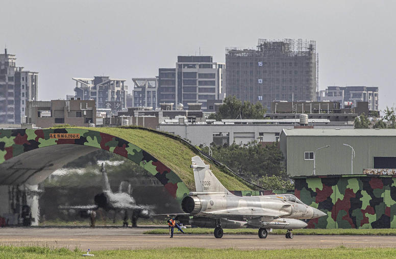
An air base in Scarborough Shoal will allow Chinese warplanes to cover the entire South China Sea from bases in islands on the eastern and western side of the South China Sea. It will also allow Chinese warplanes to easily reach the Bashi Channel, the gateway to the Pacific for China’s nuclear-armed submarines whose ballistic missiles at present can reach the continental United States only if fired from the Pacific Ocean. Of course, a Chinese air and naval base in Scarborough Shoal will be important for China if it invades Taiwan.
These are the five flashpoints in the West Philippine Sea between the Philippines and China. These will remain flashpoints as long as China refuses to abide by the U.N. Charter, UNCLOS and international law. China, as a U.N. member and a party to UNCLOS, always states publicly that the South China Sea dispute should be resolved in accordance with the U.N. Charter and UNCLOS.
But this is pure double speak as on the ground and in the water, China keeps on grossly violating the U.N. Charter and UNCLOS, even seeking to overturn the foundational principle of the U.N. Charter and the rule of law.