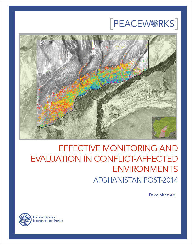
Effective Monitoring and Evaluation in Conflict-Affected Environments
Geospatial analysis and mapping have a critical role to play in reconstruction efforts in conflict-affected regions. This report explains the core problem in typical data collection techniques: bias. Data is collected only where collection is safe and thus is not representative. To be more effective, development programs need more in-depth analysis of their reconstruction efforts, even in the most insecure spaces.
Summary
- Current methods of monitoring and evaluation in conflict-affected environments such as Afghanistan have typically focused on achievements in more secure and accessible areas where international investment is higher and the population has historically been more attuned to the interests of the state.
- The institutional interests of donors and an overreliance on quantitative data collection techniques, such as polling, has led to this bias in assessing the impact of programs.
- Thus, international organizations often find themselves blind to the outcomes of their investments and to the experience of the population in more contested areas, where state fragility is highest.
- As the conflict has worsened in Afghanistan, oversight of foreign assistance has become even more circumspect. Concerns are growing as to whether current methods offer any-thing but the most cursory review of program expenditures and outputs.
- To better understand the outcomes of foreign assistance in conflict-affected environments, we need to supplement existing data collection techniques with geospatial analysis and mapping, combined with well-focused fieldwork.
- Although not a panacea, the advent of lower cost and more accessible high-resolution imagery combined with a growing inventory of investments with corresponding global positioning system (GPS) coordinates can support more in-depth analysis of the delivery of infrastructure and agricultural inputs, as well as their subsequent effects, even in the most insecure space.
About the Report
This report addresses the oversight of reconstruction efforts in conflict-affected environments. Following on from a symposium discussion, this report explains how existing data collection techniques might be supplemented by high-resolution geospatial imagery and analysis and well-focused fieldwork to improve oversight, particularly where state fragility is most extreme. The symposium—“Monitoring and Management in Insecure Environments: Applying Best Practices to Afghanistan”—was sponsored by the United States Institute of Peace (USIP) and the Special Inspector General for Afghanistan Reconstruction.
About the Author
David Mansfield is an independent researcher who has conducted in-depth fieldwork in rural Afghanistan for eighteen consecutive years. His research has evolved with the worsening security situation in rural areas and increasingly combines fieldwork in some of the most insecure parts of rural Afghanistan with detailed geospa-tial analysis and mapping. Currently a visiting scholar at Columbia University, Mansfield has a doctorate from the School of Oriental and African Studies, London.